rock formation
Stob Pyramids
The Bulgarian Ministry of Tourism’s mapped destination point is 42.096499211700, 23.102808067100, near Stob village in the southwestern Rila Mountains.
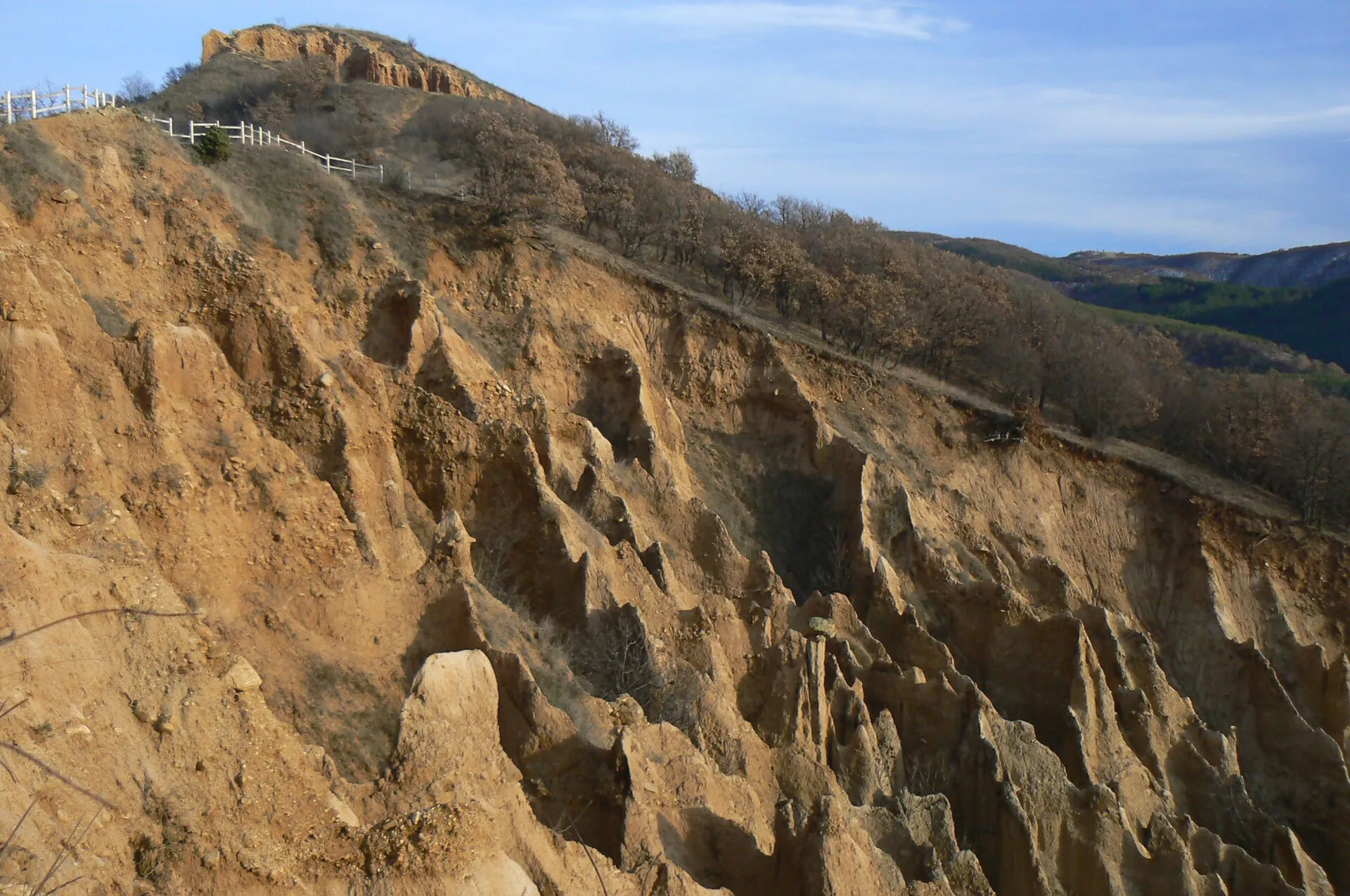
About this place
The Bulgarian Ministry of Tourism’s mapped destination point is 42.096499211700, 23.102808067100, near Stob village in the southwestern Rila Mountains. The earth deposits are about 30–40 m thick; individual formations commonly rise 6–10 m and can reach roughly 12 m. The formations vary from needles and cones to capped ‘mushroom’ shapes, with colours ranging from pale yellow to dark brown and red. A constructed eco-trail provides elevated views, while a maintained track follows the small river below the formations. Expect an exposed, uneven walking trail rather than a roadside viewpoint; use suitable footwear and avoid the ridge in storms, ice, strong wind or extreme heat. Check the linked official sources shortly before visiting because access, opening times, tours and road conditions can change.
Access information
- Expect an exposed, uneven walking trail rather than a roadside viewpoint; use suitable footwear and avoid the ridge in storms, ice, strong wind or extreme heat.
- The Stob visitor centre can provide route information and guides for organised groups, but published hours may change; call ahead rather than assuming entry services are open.
- Stay on the maintained trail and away from eroding edges.
Location
42.09650, 23.10281. Coordinates are for orientation, not parking or turn-by-turn navigation.
Sources and freshness
Editorial research by Bulgaria Unfolded. Last checked . Reconfirm changing access details before departure.