town
Vratsa
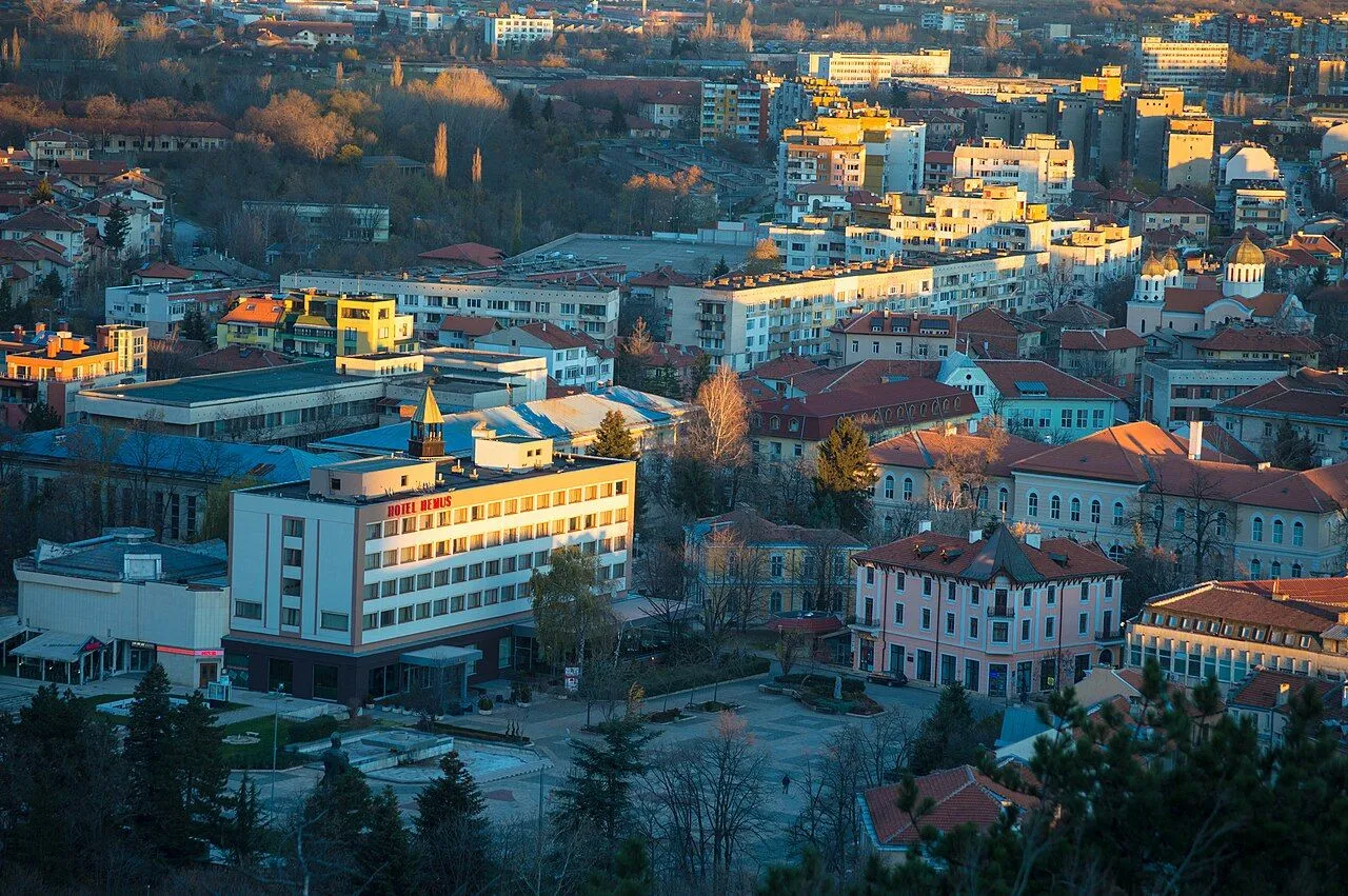
Vratsa stands at the northern foot of the Vratsa Balkan beside the narrow, gate-like passage of the Leva River.
About this place
Vratsa stands at the northern foot of the Vratsa Balkan beside the narrow, gate-like passage of the Leva River. The medieval name Vratitsa derives from a Slavic word for a small gate, reflecting the city's mountain setting. Settlement in the area reaches back to roughly the 6th millennium BCE, and the region was later associated with the Thracian Triballi. Vratsa developed as an important medieval fortress and craft centre and later served as the centre of the Third Revolutionary District during the April Uprising. Vratsa is the principal transport base for Vratsata Gorge, Vrachanski Balkan Nature Park and Ledenika Cave, but onward mountain transport should be planned separately. Recheck the linked official sources shortly before visiting because access, schedules, tours and road conditions can change.
Access information
- Vratsa is the principal transport base for Vratsata Gorge, Vrachanski Balkan Nature Park and Ledenika Cave, but onward mountain transport should be planned separately.
- The mapped road to Ledenika passes through Vratsata Gorge; check weather, road conditions and park notices before mountain travel.
- Town museums and monuments may have separate or seasonal access arrangements; verify directly rather than relying on undated listings.
Location
43.20000, 23.55000. Coordinates are for orientation, not parking or turn-by-turn navigation.
Sources and freshness
Editorial research by Bulgaria Unfolded. Last checked . Reconfirm changing access details before departure.