town
Bansko
Bansko Municipality’s official map centres the town at approximately 41.8252417, 23.4971419.
About this place
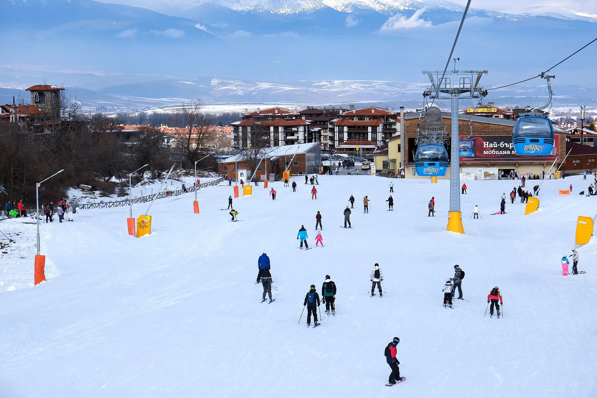
Bansko Municipality’s official map centres the town at approximately 41.8252417, 23.4971419. The town lies at about 925 m above sea level at the foot of the Pirin Mountains. Bansko’s municipal museum complex comprises eight sites interpreting local archaeology, ethnography, Bulgarian Revival culture and liberation history. The municipality is crossed by the Septemvri–Dobrinishte narrow-gauge railway; Bansko also has regular bus links with Sofia and other major cities. Winter snow, ski traffic and event periods can substantially lengthen road and parking times; check municipal and operator notices. Check the linked official sources shortly before visiting because access, opening times, tours and road conditions can change.
Access information
- Winter snow, ski traffic and event periods can substantially lengthen road and parking times; check municipal and operator notices.
- The ski area is reached by gondola or by the paved road toward Vihren Hut, but lift, road and upper-mountain access are weather- and season-dependent.
- Museum sites are dispersed through the old town and may have separate tickets or hours; verify them with the museum complex or tourist information centre.
Location
41.82524, 23.49714. Coordinates are for orientation, not parking or turn-by-turn navigation.
Sources and freshness
Editorial research by Bulgaria Unfolded. Last checked . Reconfirm changing access details before departure.