rock formation
Golden Bridges
Golden Bridges is a broad stone-river formation on Vitosha; the park describes it as the mountain’s largest stone river by area.
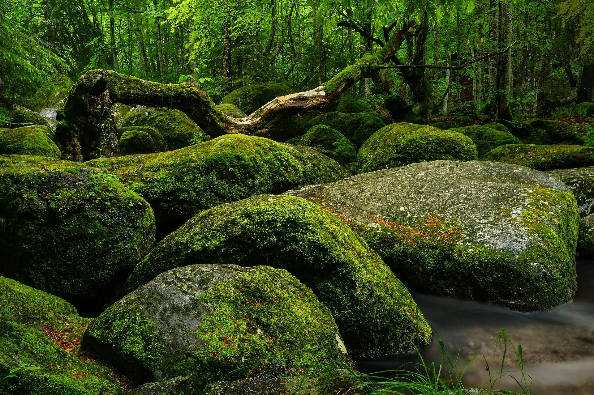
About this place
Golden Bridges is a broad stone-river formation on Vitosha; the park describes it as the mountain’s largest stone river by area. Vitosha Nature Park’s management material places the formation on the mountain’s northwestern slope at roughly 1,350–1,500 metres elevation. Park material attributes the rounded block field to spheroidal weathering of monzonite combined with water erosion. An official park interpretation says the name may derive from golden-coloured lichens on the large blocks. Visit Sofia lists four or five marked, signposted walking routes from the area, mainly toward nearby huts; picnic tables, meadows, and children’s swings are present. Check the linked official sources shortly before visiting because access, opening times, tours and road conditions can change.
Access information
- Visit Sofia lists four or five marked, signposted walking routes from the area, mainly toward nearby huts; picnic tables, meadows, and children’s swings are present.
- Visit Sofia states that bus 63 serves Golden Bridges on weekends and public holidays, but schedules and mountain-road access can change; verify current Sofia transport and road conditions before departure.
- Stay on marked paths and avoid scrambling across the stone river, especially when blocks are wet, snowy, or icy.
- The coordinates are the Golden Bridges point embedded in Visit Sofia’s official route page, not a parking-space coordinate.
Location
42.60961, 23.23905. Coordinates are for orientation, not parking or turn-by-turn navigation.
Sources and freshness
Editorial research by Bulgaria Unfolded. Last checked . Reconfirm changing access details before departure.