park
Pirin National Park
UNESCO records the World Heritage property at 41°44′33.8″N, 23°25′49.7″E.
About this place
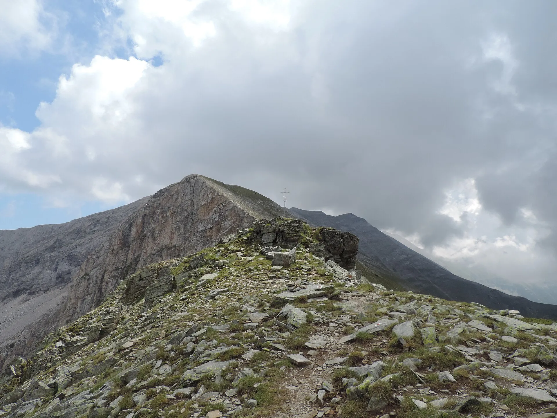
UNESCO records the World Heritage property at 41°44′33.8″N, 23°25′49.7″E. The property was inscribed in 1983 and extended in 2010; its World Heritage area is 38,350.04 ha with a 1,078.28 ha buffer zone. The park’s glacial landscape includes more than 70 glacial lakes, valleys and cirques, alongside waterfalls, caves and limestone formations. Its habitats range from coniferous forest to alpine meadow and support endemic and relict species. Use designated entry points and marked hiking routes; conditions above the tree line can change quickly even in summer. Check the linked official sources shortly before visiting because access, opening times, tours and road conditions can change.
Access information
- Use designated entry points and marked hiking routes; conditions above the tree line can change quickly even in summer.
- Ask the official visitor centre in Bansko for current trail, fire, snow and closure information before entering remote areas.
- Huts, lifts and mountain roads operate seasonally and may close in poor weather; carry appropriate clothing, water and navigation, and call 112 in an emergency.
Location
41.74272, 23.43047. Coordinates are for orientation, not parking or turn-by-turn navigation.
Sources and freshness
Editorial research by Bulgaria Unfolded. Last checked . Reconfirm changing access details before departure.