spa
Sapareva Banya
Bulgaria’s official tourism camping guide maps Sapareva Banya at 42.287883, 23.257804.
About this place
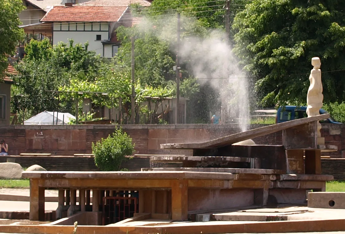
Bulgaria’s official tourism camping guide maps Sapareva Banya at 42.287883, 23.257804. The municipal account says the geyser-fountain first erupted during drilling in 1957 from a depth of 73 m. Its source water reaches 103°C and the natural jet is described as rising to about 18 m. The municipality describes the water as clear, colourless and lightly mineralised, with a hydrogen-sulfide odour. Treat the geyser water as scalding: do not touch the water or cross barriers around the fountain. Check the linked official sources shortly before visiting because access, opening times, tours and road conditions can change.
Access information
- Treat the geyser water as scalding: do not touch the water or cross barriers around the fountain.
- The geyser is in the central public area beside the tourist information centre, but fountain operation and visitor-centre hours can change; check the municipality before a special trip.
- For bathing, use regulated spa facilities and follow their posted health and temperature guidance rather than entering unmanaged outlets.
Location
42.28788, 23.25780. Coordinates are for orientation, not parking or turn-by-turn navigation.
Sources and freshness
Editorial research by Bulgaria Unfolded. Last checked . Reconfirm changing access details before departure.