town
Troyan
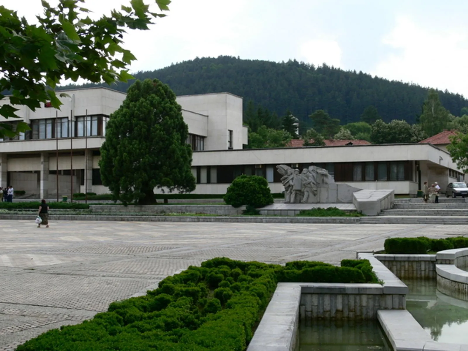
Troyan lies at the northern foot of the Balkan Mountains near the approach to Troyan Pass.
About this place
Troyan lies at the northern foot of the Balkan Mountains near the approach to Troyan Pass. The settlement developed in the 15th century beside the pass route and received town status in 1868. Its name is linked to the Roman Via Traiana route across the mountains. Troyan is especially associated with a distinctive pottery tradition, alongside woodworking and furniture production. Coordinates represent central Troyan near Vazrazhdane Square, not a specific visitor facility. Recheck the linked official sources shortly before visiting because access, schedules, tours and road conditions can change.
Access information
- Coordinates represent central Troyan near Vazrazhdane Square, not a specific visitor facility.
- The town has road and rail connections, but verify current timetables and onward transport for Oreshak, the monastery and mountain sites.
- Snow and mountain weather can affect roads and excursions around Troyan in colder months.
- Check the municipal tourism portal for current event, museum and visitor-centre information rather than assuming year-round access.
Location
42.89427, 24.71589. Coordinates are for orientation, not parking or turn-by-turn navigation.
Sources and freshness
Editorial research by Bulgaria Unfolded. Last checked . Reconfirm changing access details before departure.