wetland
Veleka River Estuary
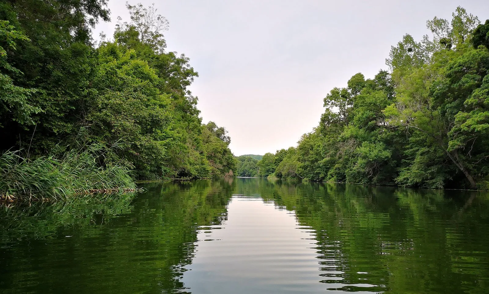
The officially protected locality is named Ustie na r. Veleka, or Veleka River Mouth, and covers 1,511 hectares. It protects the lower Veleka valley and drainage basin, an approximately 500 m sand spit and part of the Black Sea coast.
About this place
The officially protected locality is named Ustie na r. Veleka, or Veleka River Mouth, and covers 1,511 hectares. It protects the lower Veleka valley and drainage basin, an approximately 500 m sand spit and part of the Black Sea coast. The estuary lies on the Via Pontica migration corridor and supports rare coastal plants, fish and other wetland wildlife. The protected locality includes the park's only recorded locality of yellow water lily. Treat the sand spit, dunes, riverbanks and wetland vegetation as sensitive habitat; stay on established approaches and obey posted restrictions. River level, storms, erosion and conservation measures can alter access. Do not guarantee swimming conditions, boat service or wildlife sightings. Recheck the linked authoritative sources shortly before visiting because access, conservation restrictions, schedules and local conditions can change.
Access information
- Treat the sand spit, dunes, riverbanks and wetland vegetation as sensitive habitat; stay on established approaches and obey posted restrictions.
- River level, storms, erosion and conservation measures can alter access. Do not guarantee swimming conditions, boat service or wildlife sightings.
Location
42.06130, 27.97100. Coordinates are for orientation, not parking or turn-by-turn navigation.
Sources and freshness
Editorial research by Bulgaria Unfolded. Last checked . Reconfirm changing access details before departure.